Friendship Chapel Road Extension Flood Study
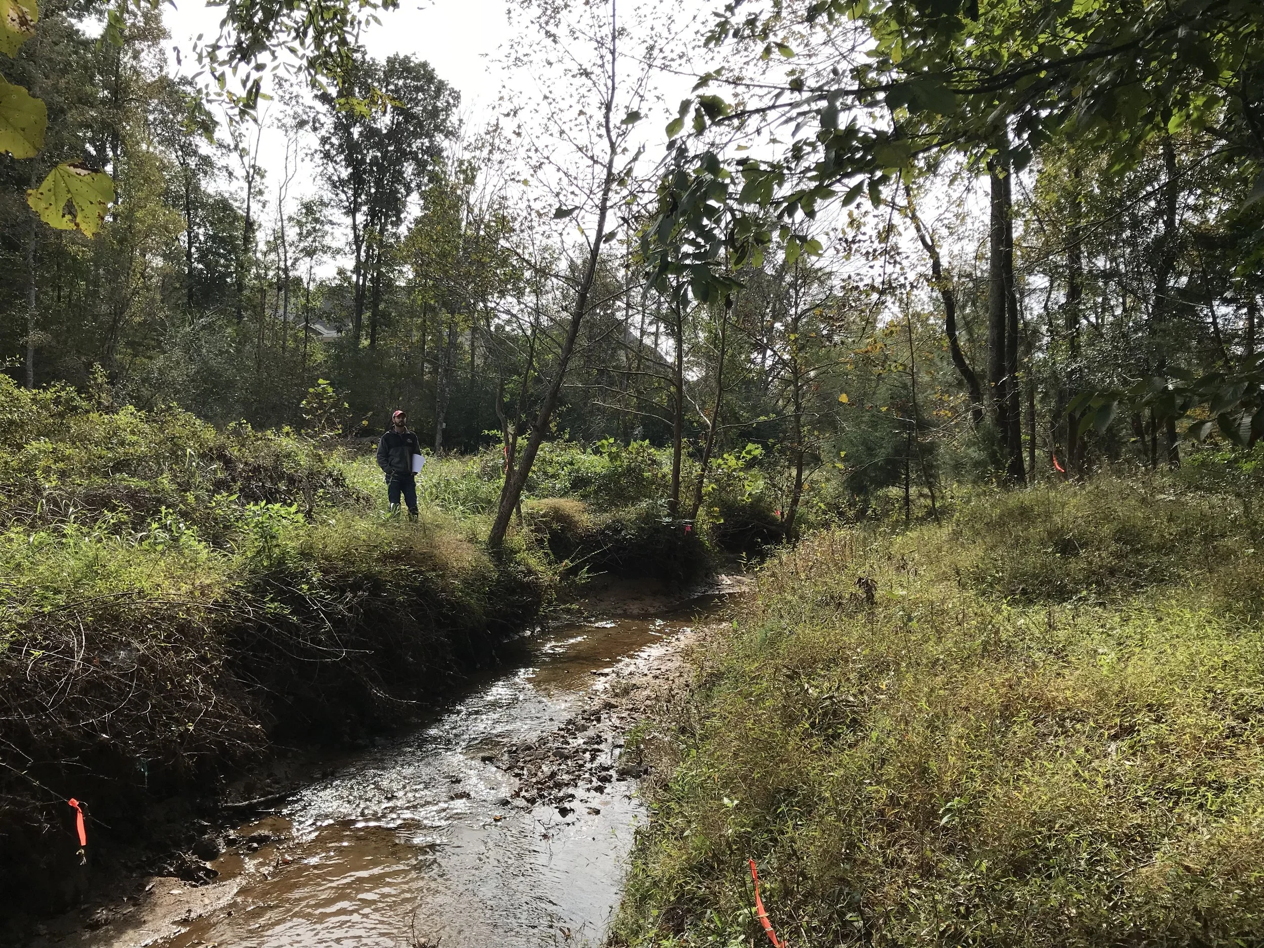
S&EC analyzed the proposed Friendship Chapel Road Extension project and performed a comprehensive flood study to determine resultant changes to water surface elevations and floodplain boundaries which would result from the proposed installation of a multi-culvert road crossing of Dunn Creek within the Town of Wake Forest, North Carolina. Our analyses utilized the U.S. Army Corps of Engineers (USACE), HEC-RAS (River Analysis System) to simulate existing and future floodplain conditions. Recommendations for the proposed road crossing and culvert configuration were provided to the project engineer for incorporation into the crossing design. Working on behalf of the developer, S&EC prepared the Flood Study report including supporting hydraulic models, floodplain and floodway mapping, water surface profiles, and a Conditional Letter of Map Revision (CLOMR) Application for review by the Town of Wake Forest, the North Carolina Floodplain Mapping Program (NCFMP) and Federal Emergency Management Agency (FEMA). In addition, S&EC performed environmental consulting including the delineation of jurisdictional wetlands and streams, a Neuse Riparian Buffer determination, and 404 and 401 permitting for the project with the U.S. Army Corps of Engineers (USACE) and NC Division of Water Resources (DWR).